

MapSocial - Create Photo Maps app for iPhone and iPad
4.8 (
1168 ratings )
Social Networking
Photo & Video
Developer: MapSocial LLC
Free
Current version: 2.1, last update: 1 year agoFirst release : 28 Mar 2017
App size: 25.4 Mb
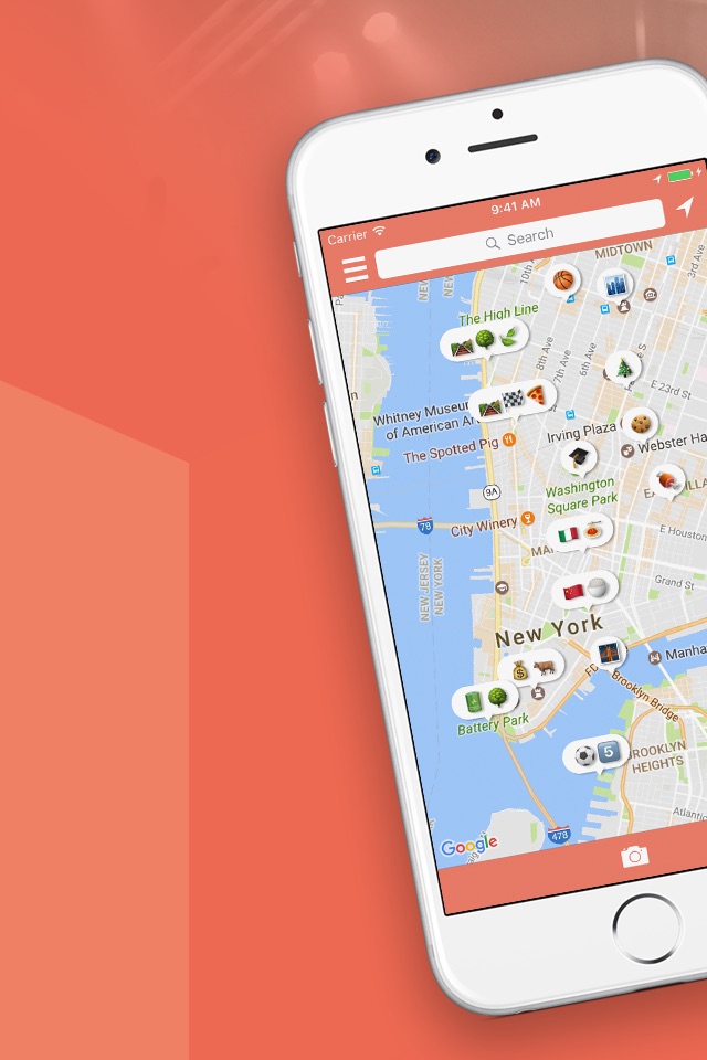
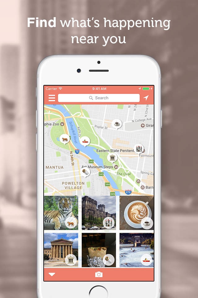
MapSocial is a map-based social network that uses emojis to show geotagged photos taken nearby.
Find where the most activity is happening and discover new experiences such as live music, sporting events, festivals, shows, food trucks and more!
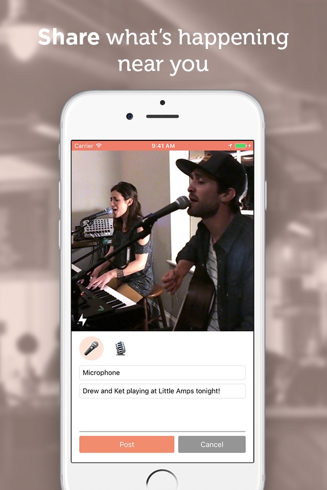
Join a community of urban explorers, photographers, and locals in your area and share your photos to let others know whats happening.
Just take a photo, tag an emoji, add a caption, and post!
We’d love to hear your feedback and suggestions. Email [email protected] and tell us what you think!